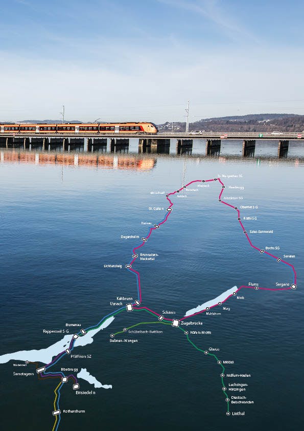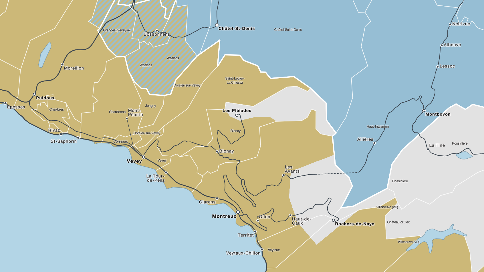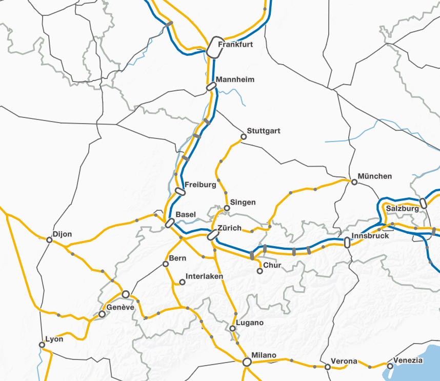
Under the name Trafimage, the most comprehensive map of public transport in Switzerland is made available with the route networks of all modes of transport. In the Trafimage system, over 300 maps for the SBB are published annually - from the large overview map for travelers to the internal electricity network map. Trafimage is open to everyone and is used in particular by other public transport companies, e.g. PostBus or BLS, but also by authorities or associations such as the VöV. The maps are available both as print posters and in digital form. The digital maps can be found on steles in the train stations, on monitors on the train, integrated into SBB websites and in a combined form in the Trafimage web map portal.
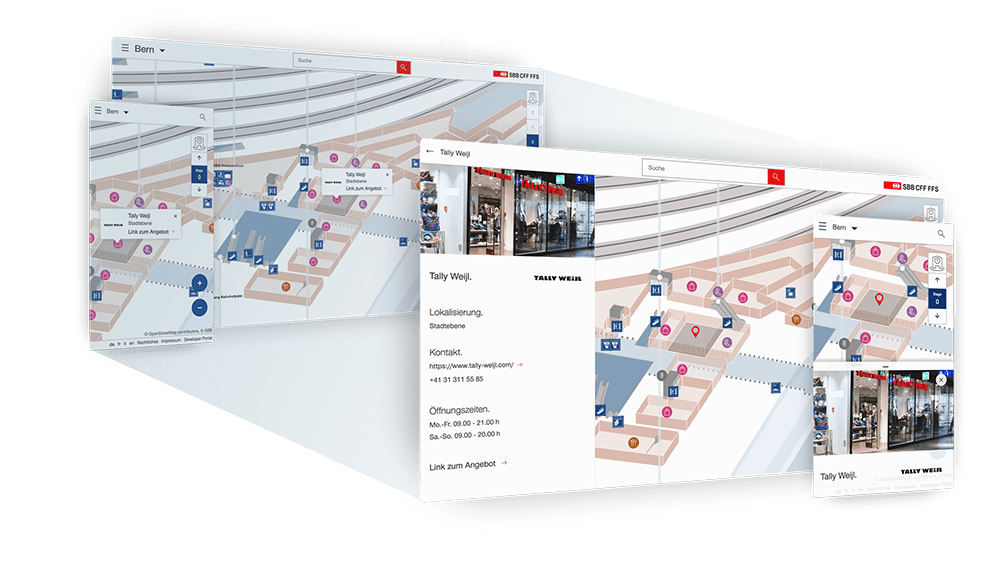
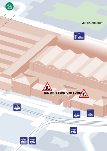
Another important component of Trafimage are the station plans. In more than 100 SBB train stations, the Trafimage train station maps print posters help travelers find their way around. The 35 largest Swiss stations are equipped with particularly easy-to-understand and appealing three-dimensional station plans. In addition to the printed posters, they are also available as an interactive train station map on the web, on mobile and on digital steles in the train station.
Always up to date
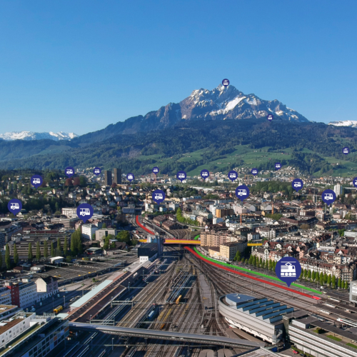
The Trafimage maps are complex products into which geodata from different sources and current timetable information flow. The resulting current network is processed with GIS tools developed by geOps and graphically optimized by means of generalization. The data integration from different sources takes place automatically and is constantly being expanded and further optimized. To display departure times and visualize the SBB's punctuality, both web maps and the interactive station map access our real-time service with current train positions and delay information. The freely available data not only cover Switzerland but all of Europe.
Editorial submitted content
Based on our GeoCMS Cartaro geOps develops and operates the editing tools for maps, train station plans and customer information for SBB .
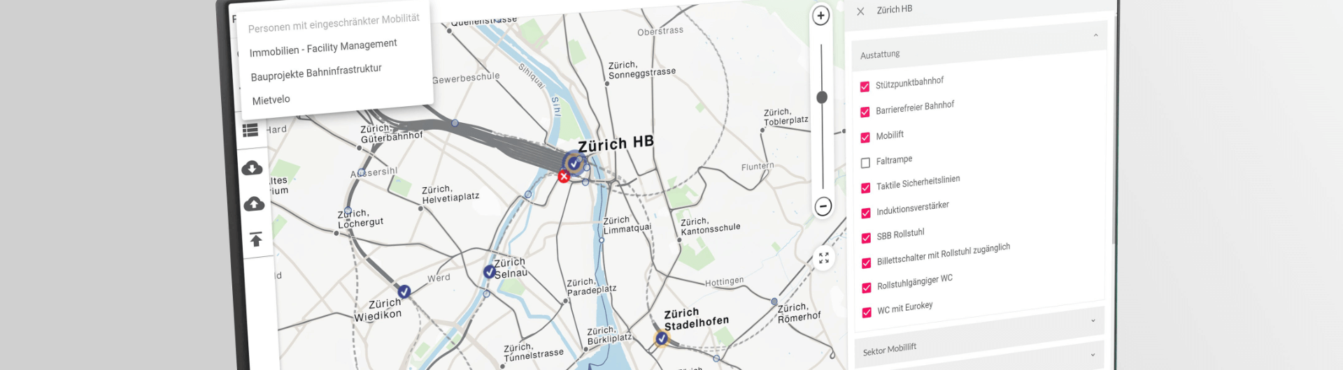
The contents of numerous thematic SBB map are updated with our Cartaro editing tool. Among other things, the maps for traveling with restricted mobility and for SBB construction projects are based on Cartaro. SBB's specialist departments also use our editing tool, e.g. to always find the right person responsible for a route section across Switzerland.
The GeoCMS train station plans is the central platform for the maintenance of information about the offers of the 35 largest Swiss train stations. Opening times, logos, images and other content are managed by the SBB real estate managers and our ARGE partner evoq in GeoCMS. The data form the basis for online and offline plans and for the offer pages on www.sbb.ch.
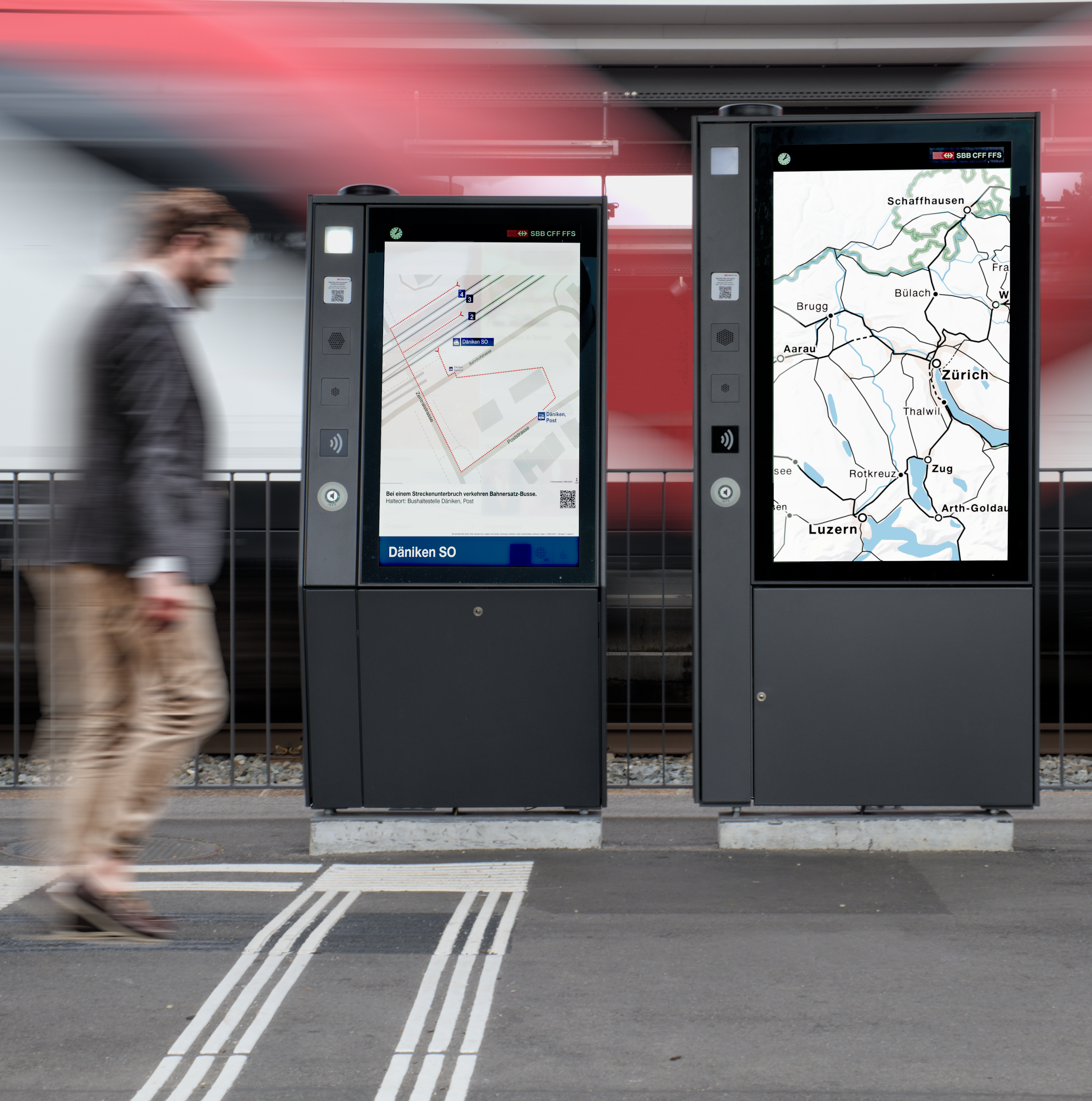
The SBB informs its customers about restrictions in rail traffic on large general advertisements. For each malfunction, the location, duration, additional information and possible alternative connections are recorded in Cartaro and exported via an interface as graphics optimized for the respective monitor.
Maps and plans for all public transport
In order to ensure a uniform appearance of public transport in Switzerland, the maps and plans produced in the Trafimage system for SBB are also freely available to other providers. In this way, further informative maps and plans relating to the topic of mobility can be derived from the existing maps. Adjustments are permitted within the scope of the copyright and can be made with simple online tools. Your own editorial content can be added to the cards with our editorial tool.